
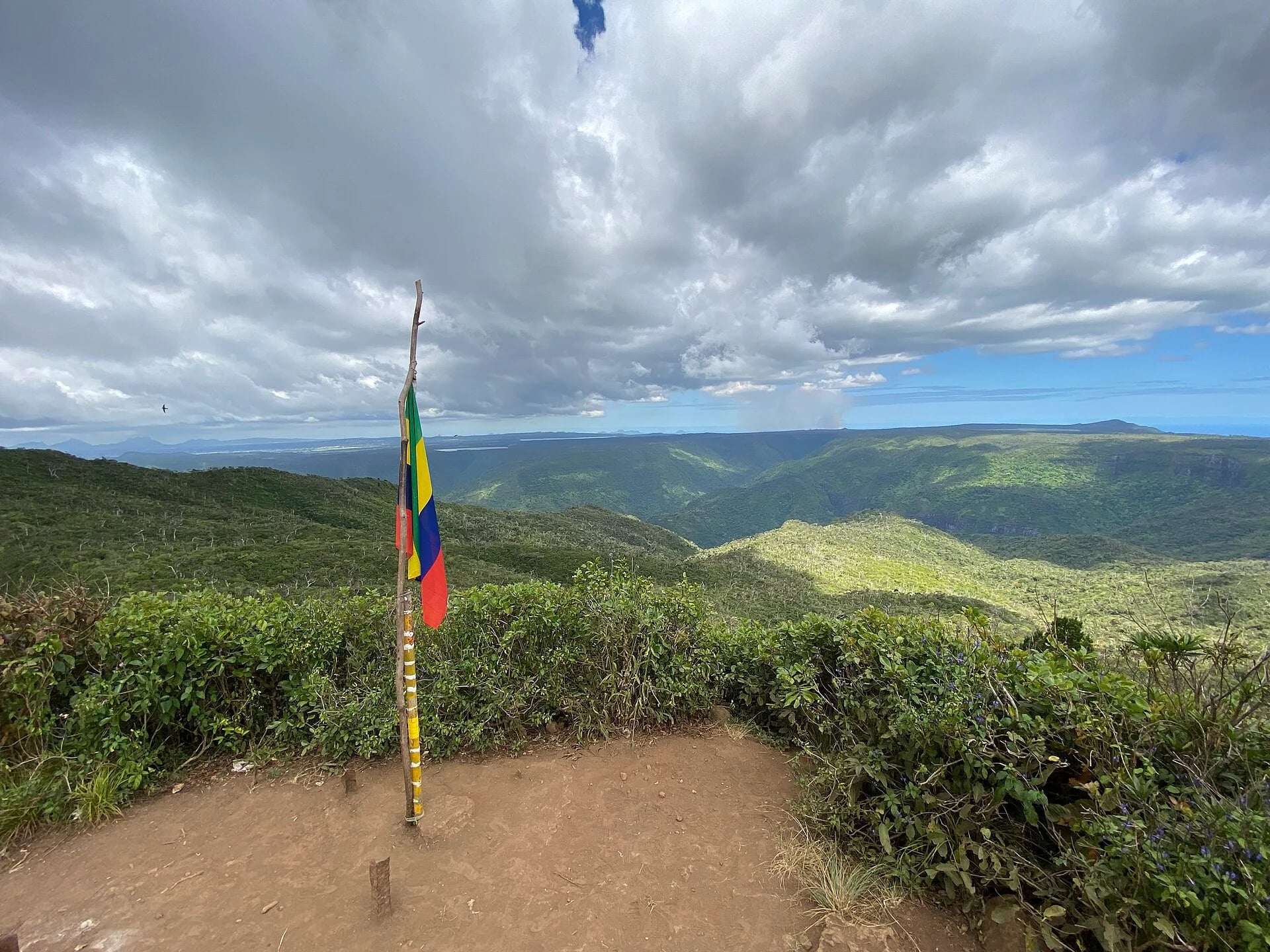
Name the mountain and the approach
You may see Piton de la Rivière Noire, Piton de la Petite Rivière Noire or Black River Peak on maps and travel pages. Keep the mountain name separate from the start of your walk. A summit pin identifies where you hope to go, not where a vehicle should leave you.
Use the full itinerary, Gorette to Black River Peak and back, when discussing transport or comparing descriptions. If another recording starts elsewhere, treat it as another variant until the routes have been matched.
Distance and difficulty
The return hike from Gorette is 9 km and moderately difficult. That distance covers the whole outing, not 9 km each way. The summit stands at 828 m above sea level; this is its elevation, not the amount you climb from the trailhead.
Compare routes by their starting point and final approach as well as their length. Shorter approaches cover different ground, and summit elevation alone cannot tell you the total ascent.
Choose a forest and ridge day
Cloud often gathers around the ridge. Enjoy the forested approach as part of the hike, and let visibility and the group’s comfort guide how far you continue. A clear summit panorama is a bonus.
For someone who mainly wants a quick panorama, a road-accessed viewpoint may be the better match. For someone who wants sustained walking, the mountain can give the day a clear objective without making the summit compulsory.
Give the return the same attention
Set the day’s transport and finish arrangements before leaving. Share the named route and an agreed check-in with someone outside the group. Carry food, water and rain protection for the outing, and protect your phone or map from wet conditions.
Build a turnaround decision into the plan rather than adding it when everyone is tired. Discuss how the group will respond if visibility worsens, progress is slower than expected or one person does not want to continue. Reaching the top is only part of a completed return walk.
Check this route’s access
Read the latest National Park Information Centre report for Black River Peak as well as the park-wide notice. A general opening statement and an available route are different pieces of information. A recent editorial date is not a report from the mountain.
Before leaving, save your route for offline use and agree on a turnaround time. Keep enough daylight for the return, including pauses and slower progress on wet ground.
Set a turnaround time before the climb
Work backwards from the time you need to be back at Gorette. Include pauses, uncertain navigation and a slower return on wet ground. Agree on the turnaround time as a group so that the summit does not become a reason to ignore a late start or worsening conditions.
Pack for the walking day, not just the photograph at the top. Keep rain protection and drinking water easy to reach. If someone is uncomfortable on the final approach, turn together or use a clearly agreed waiting and return plan rather than separating without arrangements.
Current access
Access not confirmedWe are awaiting a current report from the National Park Information Centre. Confirm access at your entrance before setting out.
Read park and trail access information →Your questions answered
How high is the highest mountain in Mauritius?
Piton de la Rivière Noire rises to 828 m above sea level. That is the summit elevation, not the total ascent of your hike.
How long is the Black River Peak trail?
The return hike from Gorette is 9 km. Routes from other starting points have different distances and terrain.
Does moderate mean suitable for everyone?
No. Moderate describes the overall difficulty. Match the route to your group’s experience, the terrain, the conditions and the ability to complete the return.
Sources behind this guide
References used for this guide. Current access is shown separately with its own report date.