
Start with the correct side of the park
For this outing, the relevant starting area is the lower gorges at Rivière Noire, not Pétrin. Give your driver the agreed entrance and meeting point. Searching only for the waterfall can leave you with a destination pin that does not explain how to get there on foot.
Choose a return walk to the same entrance unless you have separately confirmed another complete route. An upper trail appearing close on a map is not evidence of a usable connection from below.
Follow the outing, not just the waterfall name
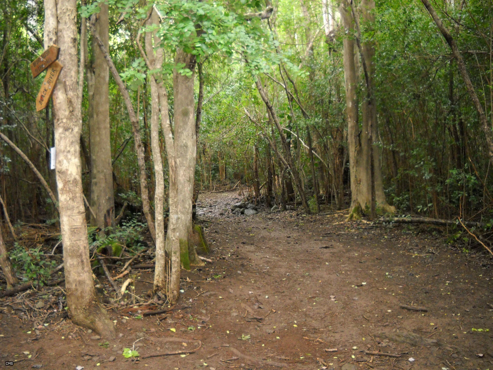
Explore Mauritius describes a forest approach that stays close to a stream and crosses it repeatedly. The crossings belong to the experience of reaching the waterfall; they are not an optional extra at the destination.
Plan this as an out-and-back from the lower gorges. The return retraces the stream crossings, so leave time and energy for the same obstacles on the way back. Check the complete route from your agreed starting point before choosing a distance target.
Make water conditions part of the decision
A route can look straightforward in dry photographs and behave differently after rain. Assess the whole return, because a crossing made on the outward leg must normally be crossed again later. Do not rely on a waterfall photograph or a general park opening notice to establish stream conditions.
If a crossing cannot be made with a controlled, comfortable passage for every member of the group, turn back. Do not split the group across the water or improvise an off-trail bypass to keep a planned schedule.
Keep the lower and upper approaches separate
Some forest-loop descriptions mention a waterfall lip in the uplands. A visit below a waterfall and a route above it are not interchangeable, even when search results connect them with the same place name. Compare the entrance, direction and destination of the actual itinerary.
Return by the lower route unless you have arranged a complete alternative itinerary. Do not improvise a connection to the Machabée loop from two nearby labels on a map.
Plan a complete forest outing
Carry water, food, appropriate footwear and a way to protect items from rain or splashes. Keep the route reference available offline. Agree on a return margin and a pickup that does not pressure the group into continuing when conditions change.
Read the National Park Information Centre’s current report for the lower approach before setting out. If stream conditions rule it out, compare an outing without the same crossing requirement rather than substituting an unverified shortcut.
Think about each crossing twice
The stream crossings you make on the outward journey are also part of your return. Notice a crossing’s shape and the conditions as you pass, and keep watching for changes in the water. Reaching the waterfall is not the end of the walking day.
Keep essential belongings protected from water and leave enough time for careful footing. A companion’s confidence can differ from your own, so judge the outing together. If the stream or weather makes the return uncertain, turn back before adding another crossing.
Current access
Access not confirmedWe are awaiting a current report from the National Park Information Centre. Confirm access at your entrance before setting out.
Read park and trail access information →Your questions answered
Which entrance is used for the lower Mare aux Joncs approach?
The lower approach begins at the Rivière Noire entrance in the lower gorges. It is separate from routes through the upland forest.
Does the walk include river crossings?
Yes. The route crosses the stream repeatedly. Check water conditions as well as the trail’s access status before setting out.
Can I make a loop by returning through the upper forest?
Plan to return by the same route. A connection to the upper forest needs its own complete itinerary and access check; do not improvise a loop at the waterfall.
Sources behind this guide
References used for this guide. Current access is shown separately with its own report date.